Geographic Information Systems College Credit Certificate
Program Overview
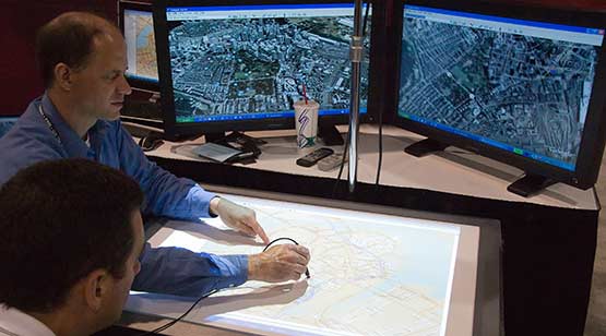
Geographic Information Systems (GIS) is a field that promotes cooperation within and across organizations by enabling the integration of several information platforms to facilitate mapping, analysis and planning strategies. Some of the areas of application include public policies design and management, environmental management and mitigation, risks and resilience analysis, crime mapping, and urban planning and development.
The College Credit Certificate program in Geographic Information Systems Technology prepares students with professional and technical training in GIS. Graduates of the CCC acquire a skill-set that equips them to create, modify and enhance GIS for analysis, prediction, decision making and planning in a variety of fields.
-
Preparation for Certification Exam
ARC GIS Desktop Entry Certification
-
Stack Credentials and Earn Additional Degrees
The CCC in GIS is a pathway to the AS in Computer Information Technology.
| Estimated tuition cost: | |
| Program credits: | |
| Estimated time to complete: |
Program Details
Developed to align with industry needs, the GIS curriculum prepares students in the creation, modification and analysis of GIS in order to support prediction, analysis, decision making and planning in a variety of fields and a broad spectrum of organizations, including the private sector, nonprofits, government, and academia:
Areas of Study:
- GIS concepts
- Database concepts and design
- Discrete geocoding and georeferencing
- GIS software
- Geospatial structures, vectors and 3D data
- Remote sensing technique to generate GIS data
Program Location
Advisors are available to assist you by providing general information about MDC's programs and services.
- Call: 305-237-3676
- Email: entec@mdc.edu